
 The National Library of Scotland have published online highly detailed Ordnance Survey maps for much of Great Britain. Maps for Southport go right back to 1848 which gives us a unique opportunity to peer into the past and see where the Sandgrounders have plied their trade over the years.
The maps available are as follows:
Lancashire LXXV
Surveyed: 1845 to 1846
Published: 1848
(obviously a football ground will not appear on this one!)
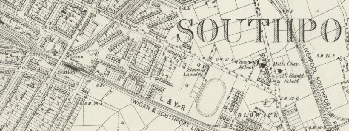
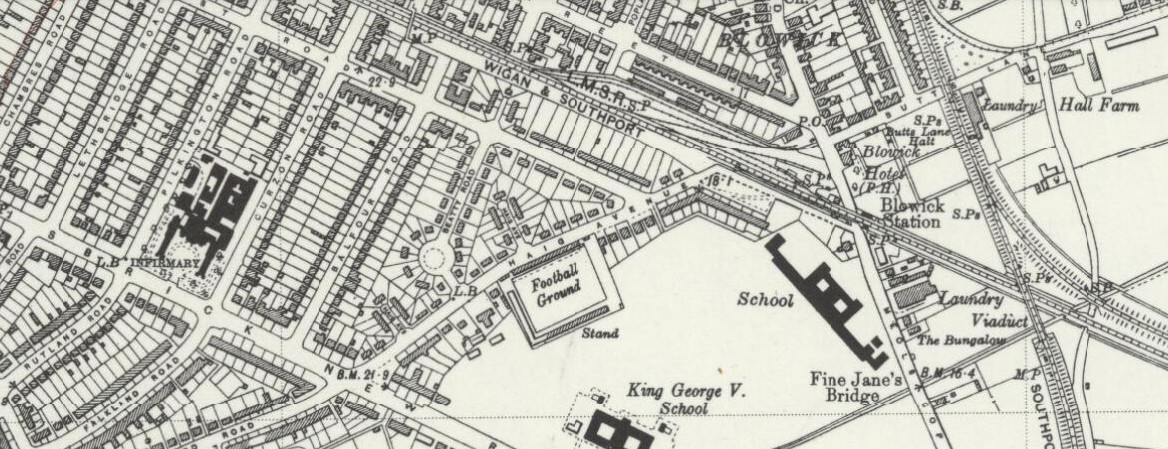
Lancashire LXXV.SW
Surveyed: 1889 to 1892
Published: 1894
 For 3 years following their formation Southport played at a sports ground in Sussex Road.
 The Sandgrounders moved home in 1884 and played at two different grounds in Scarisbrick New Road )
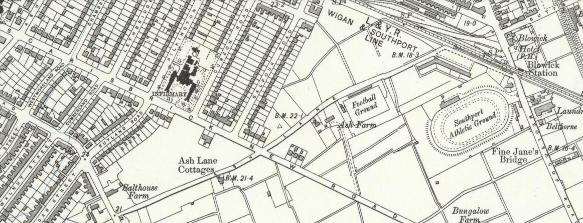
Lancashire LXXV.SW
Revised: 1908 to 1909
Published: 1912
Then known as Ash Lane, the Sandgrounders moved to their current home in 1905.
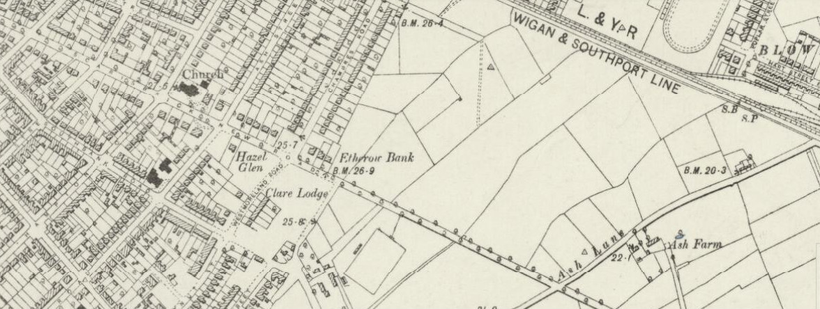
Lancashire LXXV.SW
Revised: 1926 to 1927
Published: 1929
 Ash Lane was split into two roads in 1921. One part was renamed Everard Road, and the other Haig Avenue.
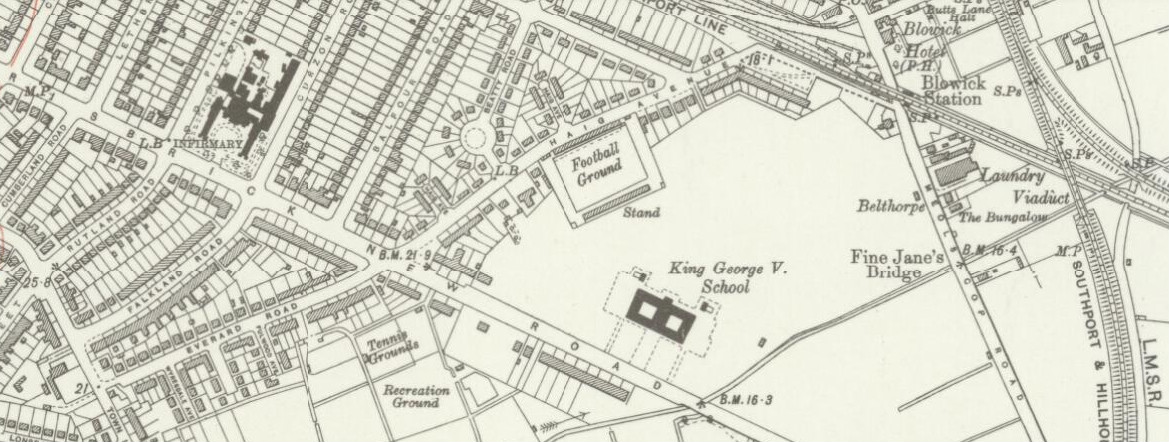
 Lancashire LXXV.SW
Revised: 1938
Published: 1947
A later view of Haig Avenue


More Stories
1987, and a dispute over damage during the Scarisbrick & Popular Terrace demolition.
How did you get to the Ground? Maybe the ‘No 5’ Bus, once a familiar sight on Matchdays?
Three Team Photos of Opponents, c1960, Haig Avenue